PILOT IN TRAINING
AVIATION · PHOTOGRAPHY · TRAVEL · WRITING
Aranya Bhadu.
ARANYA
forest
AIFTAAmravati, Maharashtra
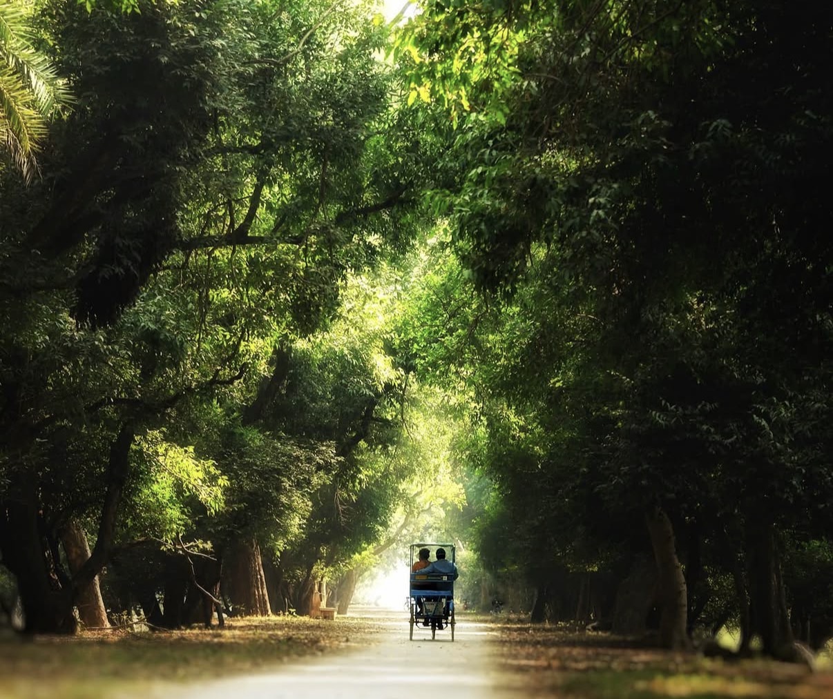
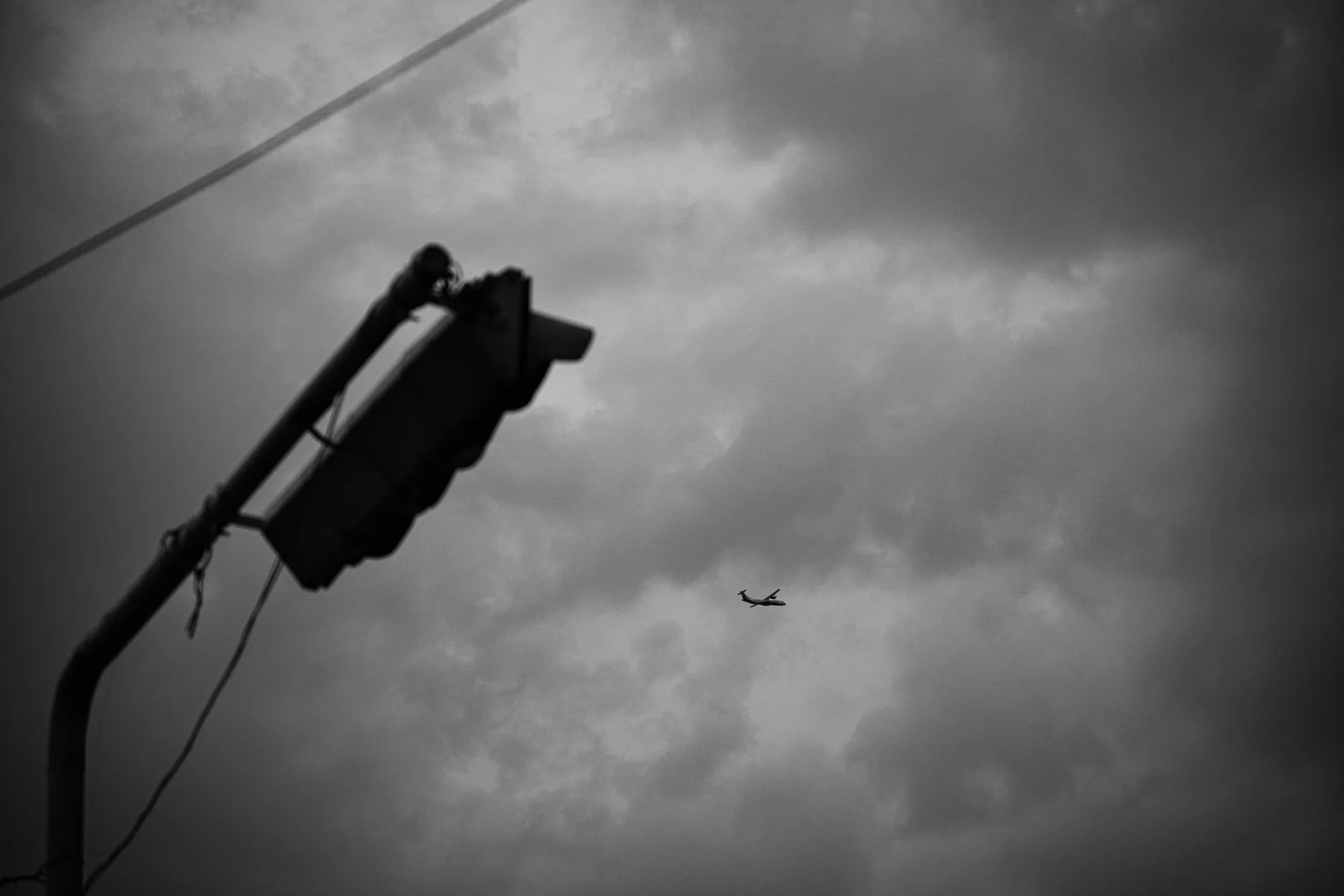
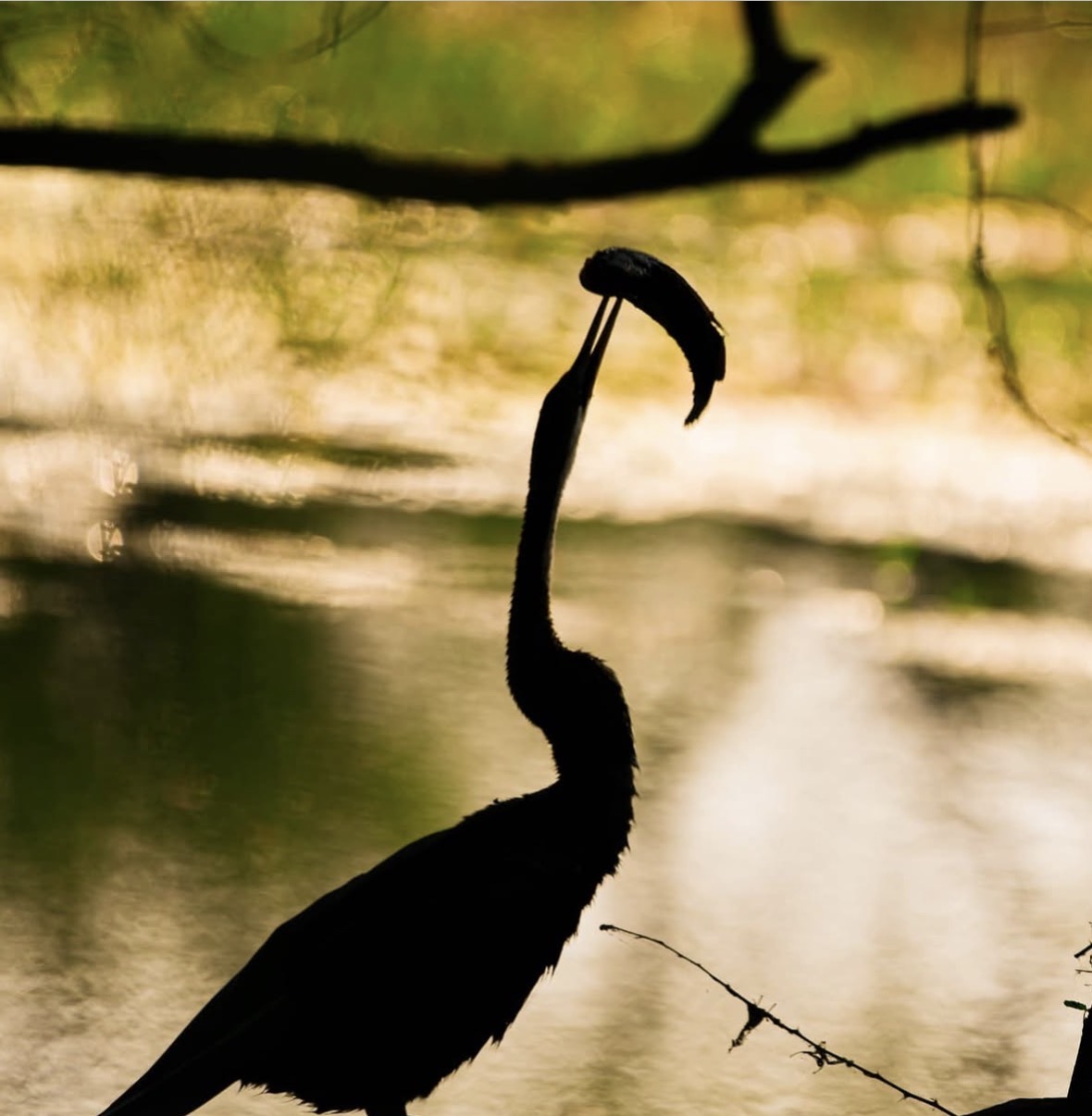
Light, life, and the moments in between.
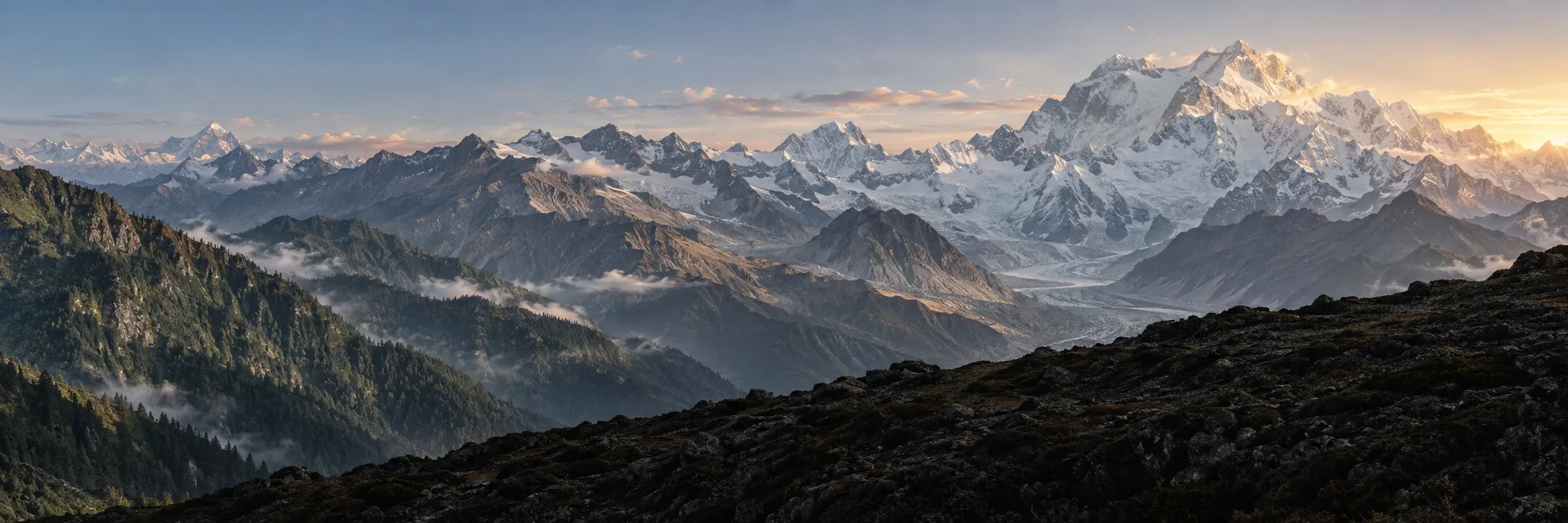
03 / FURTHER ON FOOT
Outside
the frame.
My high-altitude trekking experiences
Four treks.
One thread through the mountains.
01 / 04 · ON FOOT
Gaumukh–Tapovan
My first real test at altitude.
02 / 04 · ON FOOT
Chandrashila
A journey of ascent and loss.
03 / 04 · ON FOOT
Kuari Pass
Strangers at the start. Friends by the end.
04 / 04 · ON FOOT
Goechala
Pushing my limits beneath Kanchenjunga.
Select a trek for the story and photographs.
More treks
Notes, photographs and recommendations from the trail.
Travel
Places, food and photo spots.
Choose a place to explore.
Regional entries use representative anchors.
Outline: DataMeet / LSIB / Natural Earth · Locations: GeoNames, CC BY 4.0
Map sources and regional anchors
Generalized DataMeet country composite (CC0), showing India’s claimed boundaries; composition checked against the Survey of India political map. Islands remain in their geographic positions.
Destination points: GeoNames (CC BY 4.0); Kumarakom: Wikidata (CC0); Kasauli: Wikidata (CC0); Mawlynnong: Wikidata (CC0); Chopta Bugyal: DBpedia / Wikipedia contributors (CC BY-SA 4.0).
Ladakh, Goa and Coorg use regional administrative anchors; Rann of Kutch uses a salt-marsh anchor and Ranthambore a national-park anchor. These indicate regions, not specific visited venues.
61 places
- LadakhView recommendations →
- SrinagarView recommendations →
- JammuView recommendations →
- ShimlaView recommendations →
- DalhousieView recommendations →
- NainitalView recommendations →
- MashobraView recommendations →
- DehradunView recommendations →
- MussoorieView recommendations →
- RishikeshView recommendations →
- HaridwarView recommendations →
- ChoptaView recommendations →
- AuliView recommendations →
- GangotriView recommendations →
- ChandigarhView recommendations →
- PatialaView recommendations →
- AmbalaView recommendations →
- AmritsarView recommendations →
- LudhianaView recommendations →
- DelhiView recommendations →
- NoidaView recommendations →
- GurgaonView recommendations →
- AgraView recommendations →
- VaranasiView recommendations →
- LucknowView recommendations →
- GangtokView recommendations →
- GuwahatiView recommendations →
- BagdograView recommendations →
- SiliguriView recommendations →
- DibrugarhView recommendations →
- DarjeelingView recommendations →
- ShillongView recommendations →
- CherrapunjiView recommendations →
- MawlynnongView recommendations →
- KolkataView recommendations →
- UdaipurView recommendations →
- AjmerView recommendations →
- JaisalmerView recommendations →
- PaliView recommendations →
- RanthamboreView recommendations →
- JodhpurView recommendations →
- BharatpurView recommendations →
- BarmerView recommendations →
- AhmedabadView recommendations →
- MehsanaView recommendations →
- Rann of KutchView recommendations →
- RajkotView recommendations →
- MumbaiView recommendations →
- PuneView recommendations →
- GoaView recommendations →
- BangaloreView recommendations →
- HyderabadView recommendations →
- ChennaiView recommendations →
- PondicherryView recommendations →
- OotyView recommendations →
- CoorgView recommendations →
- CoonoorView recommendations →
- KasauliView recommendations →
- KochiView recommendations →
- KumarakomView recommendations →
- VarkalaView recommendations →
No places found. Try another name.
Writing
Essays and observations.
The Trip My Brain Remembered Wrong
A trip to Goa, a terrible ending and what it taught me about how we remember experiences.
On Being a Beginner Again
Learning something unfamiliar means meeting the awkwardness before the ease.
When a Place Starts Feeling Familiar
Familiarity gathers slowly, through small routines and repeated attention.
The Conversations We Remember
An ordinary exchange can remain long after its exact words have disappeared.
A Day Without a Plan
Unstructured time leaves room for details that a schedule might pass over.
About me
Continue ↓Saint Xavier’s
Jaipur
Growing up
Lawn tennis · Swimming · Football · Cricket
Thapar Institute
Patiala
Photography
ZS Associates
Flight training
AIFTA · Amravati